
The Humanitec Digital Showcase was a project supported by the Vice Chancellor’s Strategic Fund. All collections included were digitised and curated by the Humanitec / UCT Libraries initiative between 2011 and 2014. In recognition and appreciation of the work done, this entire showcase has been migrated onto the UCT Libraries current digital collections platform, Ibali.
Select a site below to explore its digital objects:
Showcase Sites
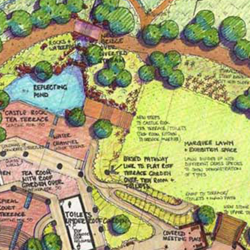
Ann Sutton Archive
Ann Sutton was a path-finding South African landscape architect whose deafness added to the sensate details of her extraordinary designs. Explore detailed sketches, plans and site documentation.
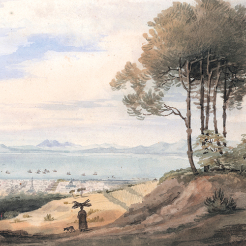
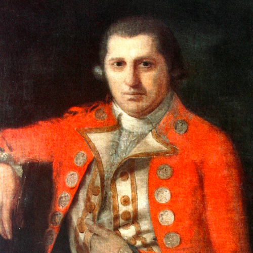
Bell Heritage Trust
Housed in the University of Cape Town’s Special Collections are the paintings of Charles Davidson Bell (1813 – 1882). Explore a selection of his paintings of Southern African from the 19th century.
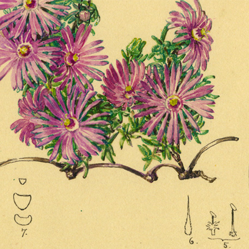
Bolus Herbarium Collection
In the early 1900s, Mary Page and Beatrice Carter were employed by the Bolus Herbarium to illustrate a hugely diverse family of succulent plants. Explore a selection of their coloured botanical drawings.
Center for Popular Memory
The Centre for Popular Memory’s archive contains over 3 000 oral history interviews. Explore a selection of first-person life histories, testimonies, memories and shared reflections in nine languages.
Centre for African Language Diversity
A selection of rare audio recordings made by pioneering South African linguist Ernst Westphal is now available online, bringing several extinct and endangered African languages into public circulation.
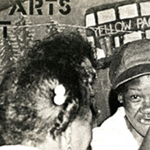
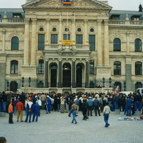
Community Arts Project
The Community Arts Project archive is a rich resource of press clippings, newsletters, minutes and other documents. Explore the rocky history of cultural resistance in the Western Cape.
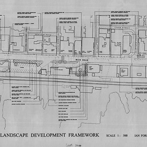
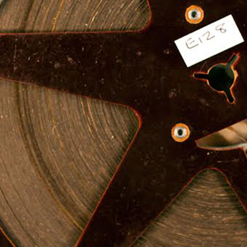
Ian Ford Collection
Ian Ford was a landscape architect with a deep understanding of the internal logics of Cape vernacular architecture. Explore his hand-drawn designs which are the epitome of pre-digital elegance.
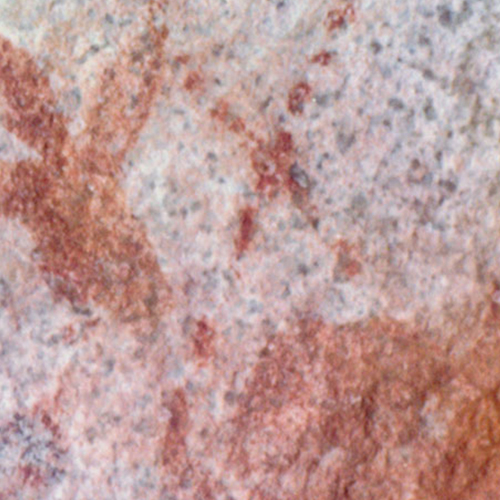
Iziko Rock Art
In a trailblazing collaborative project between UCT and Iziko Museums of South Africa, around 1 000 Rock Art records, relating to sites in the Western Cape, have been digitised. Explore a selection of photographs.
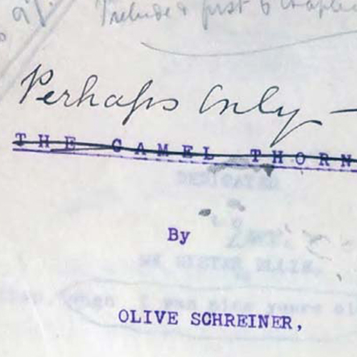
Olive Schreiner Literary Archive
Explore Olive Schreiner's 1876–77 Ratel Hoek Journal, 1886–87 manuscript fragments, 1901 manuscript and 1911 typescript (with manual emendations).
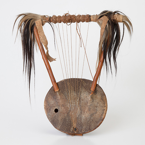
Percival Kirby Musical Instruments
Explore photographs of the internationally recognised Kirby Collection of rare musical instruments, primarily from Southern Africa.
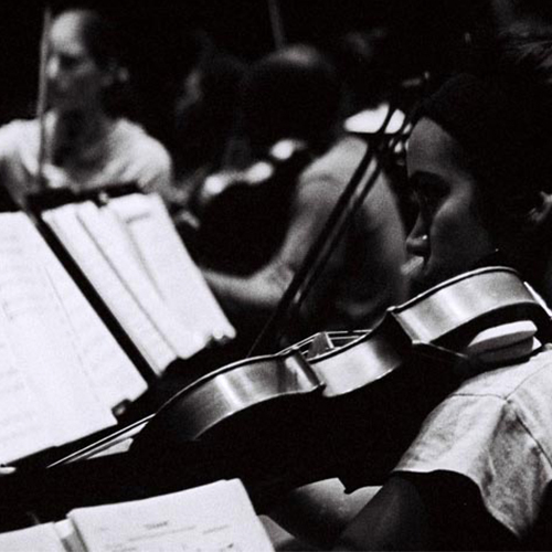
South African College of Music
Since the early 1980s, the South African College of Music at UCT has been recording its regular live performances. This hybrid mix of recordings ranges from Opera, to African Music, Jazz and Western Classical.
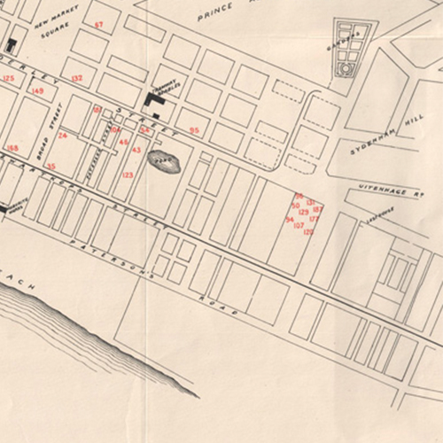
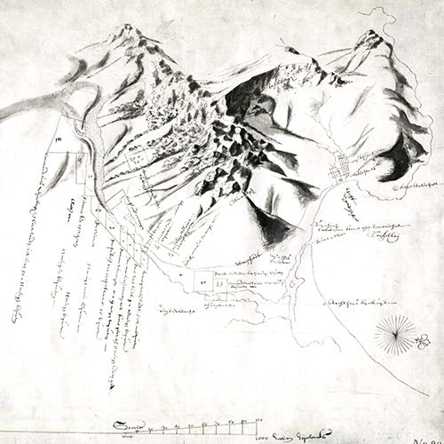
Talbot Maps
Explore the UCT map collection, assembled by the first professor of Geography, Professor William Talbot, covering the whole African continent, and including rare and valuable items.
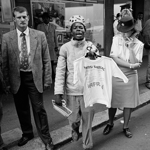
The Black Sash
The Black Sash is a non-violent white women's resistance organisation which fought against the Pass Laws and the introduction of other apartheid legislation. Explore documents and photographs from their archives.
The photography of Zubeida Vallie
One of the few women, and probably the only woman of colour, who photographed the Struggle years on the Cape Flats, Zubeida Vallie’s images capture the violence of the times, but also the ‘other stuff’.
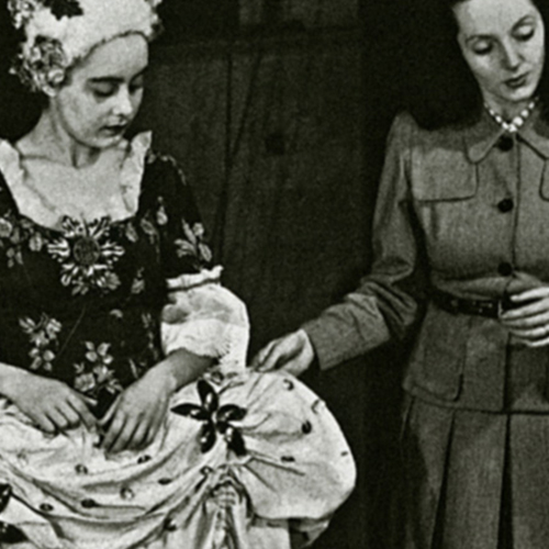
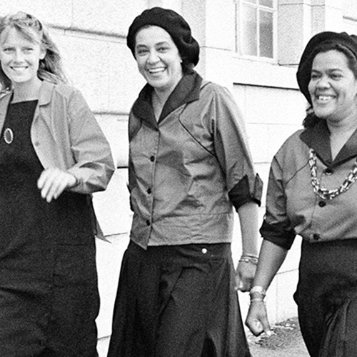
UCT School of Dance
UCT School of Dance’s evolving archive houses thousands of photographs, recordings and other artefacts that capture the history of a school and company in motion since 1934.
Collection Sites
Monica and Godfrey Wilson Collection
A selection of photographs of anthropologists Monica and Godfrey Wilson, relating to their field work among the Nyakyusa people of Tanganyika, the miners in Broken Hill, and other aspects of their work.
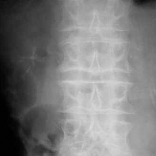
Open Access: Adult & Paediatric Uroradiology
Explore a selection of x-rays from the department of Adult & Paediatric Uroradiology.
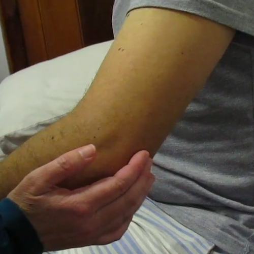
Physiotherapy Assessments
View medical videos of physiotherapy assessments.
Robert Jacob Gordon Journal Archive
This collection was created to give public access to the raw data of Robert Jacob Gordon’s Journal. Explore the first transcription of the original Dutch as well as Patrick Cullinan’s translation.
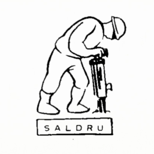
SALDRU
Previously only available in hard copy, the data and documents of South Africa’s first all-race countrywide household survey are now available in accessible digital format.
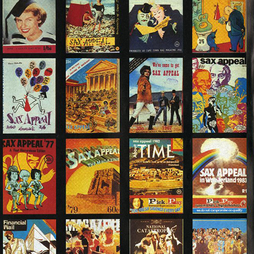
SAX Appeal Covers
The magazine covers showcase the many changes made to UCT RAG's largest contributor since the first edition, published in 1933.
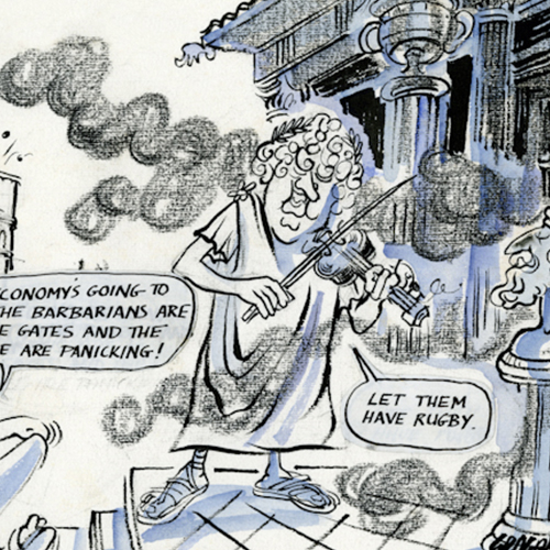
Tony Grogan Cartoons
Explore a selection of work by Tony Grogan, a cartoonist, illustrator and artist living in Cape Town.
UCT Photography Collection
Explore a selection of photography work available through the holdings of UCT Collections.
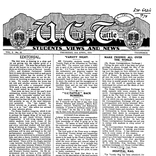
UCTattle
VARSITY is the official student newspaper of the University of Cape Town, since 1942. Explore some of its early editions.
William and Yvonne Jacobson Digital Africana Program at UCT
The William and Yvonne Jacobson Digital Africana Program, an initiative between the UCT and Stanford University, makes available online a selection of the African historical maps held in UCT Libraries.
